
Файл:Mexico Guerrero location map.svg

Size of this PNG preview of this SVG file: 800 × 503 pixels. нэгъуэщӀ разрешенэхэр: 320 × 201 pixels | 640 × 403 pixels | 1,024 × 644 pixels | 1,280 × 805 pixels | 2,560 × 1,610 pixels | 3,993 × 2,512 pixels.
Файлым и къежьапӀэр (SVG файл, номиналу 3,993 × 2,512 пиксел, файлым и инагъыр: 1.18 MB)
W3C-validity not checked.
| Зытеухуар |
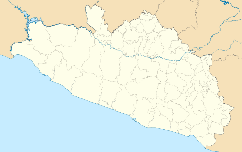
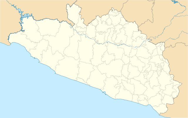
Location Map of en:Estado de Guerrero Equirectangular projection, Geographic limits of the map:
|
| Махуэр | |
| КъежьапӀэр | Уней лэжьыгъэр |
| Лэжьыгъэр зи Ӏэдакъэ щӀэкӀар | Battroid (talk) |
I, the copyright holder of this work, hereby publish it under the following license:
| I, the copyright holder of this work, release this work into the public domain. This applies worldwide. In some countries this may not be legally possible; if so: I grant anyone the right to use this work for any purpose, without any conditions, unless such conditions are required by law. |
Файлым и тхыдэ
Махуэ/зэманым тепӀытӀэ файлыр дапщэщ сыт хуэдэу щытами уеплъынумэ
| Махуэ/Зэман | КӀэщӀу | инагъыр | ЦӀыху хэтыр | Гу зылъытапхъэ | |
|---|---|---|---|---|---|
| иджы екӀуэкӀыр | 09:01, 16 Дыгъэгъазэ 2011 | | 3,993 × 2,512 (1.18 MB) | Battroid | {{ValidSVG}} {{Information |Description=Location Map of en:Estado de Guerrero Equirectangular projection, Geographic limits of the map: * N: 18.96° N * S: 16.25° N * W: 102.39° W * E: 97.87° W |Source={{own work}} |Date=2011-12-13 |Author=[[User: |
| 09:11, 14 Дыгъэгъазэ 2011 |  | 3,993 × 2,512 (1.17 MB) | Battroid | {{ValidSVG}} {{Information |Description=Location Map of en:Estado de Guerrero Equirectangular projection, Geographic limits of the map: * N: 18.96° N * S: 16.25° N * W: 102.39° W * E: 97.87° W |Source={{own work}} |Date=2011-12-13 |Author=[[User: | |
| 08:53, 14 Дыгъэгъазэ 2011 |  | 3,993 × 2,512 (1.17 MB) | Battroid | {{ValidSVG}} {{Information |Description=Location Map of en:Estado de Guerrero Equirectangular projection, Geographic limits of the map: * N: 18.96° N * S: 16.25° N * W: 102.39° W * E: 97.87° W |Source={{own work}} |Date=2011-12-13 |Author=[[User: |
Файлыр къэгъэсэбэпын
Мы напэкӀуэцӀыр 1 тохьэ мы файлым:
Куэд къызэщӀиубыдэфыу файлыр къэгъэсэбэпын
Мы файлыр мыпхуэдэ викихэм къыщагъэсэбэп:
- Къыщыгъэсэбэпын ar.wikipedia.org
- Къыщыгъэсэбэпын ba.wikipedia.org
- Къыщыгъэсэбэпын bg.wikipedia.org
- Къыщыгъэсэбэпын ceb.wikipedia.org
- Къыщыгъэсэбэпын ce.wikipedia.org
- Къыщыгъэсэбэпын de.wikipedia.org
- Къыщыгъэсэбэпын en.wikipedia.org
- Acapulco
- Chilpancingo
- Acapulco International Airport
- Taxco
- Zihuatanejo
- Tixtla
- Ixtapa-Zihuatanejo International Airport
- Iguala
- Cuajinicuilapa
- Pie de la Cuesta, Guerrero
- San Marcos, Guerrero
- Chilapa de Álvarez
- Oxtotitlán
- Tlapa de Comonfort
- Ciudad Altamirano
- Ixcateopan de Cuauhtémoc
- Acapulco (municipality)
- Ahuacuotzingo (municipality)
- Cuajinicuilapa (municipality)
- General Canuto A. Neri
- Pilcaya (municipality)
- Tecpan de Galeana (municipality)
- Tlacoachistlahuaca (municipality)
- Ajuchitlán
- Atoyac de Álvarez
- Ayutla de los Libres
- Azoyú
- Coyuca de Benítez
- Coyuca de Catalán
- Cualac, Guerrero
Еплъын глэбальнэу къызэрагъэсэбэп мы файлыр.