
Файл:Location Transnistria Europe.png

Зэрыщытын формэм и инагъыр: 687 × 600 pixels. нэгъуэщӀ разрешенэхэр: 275 × 240 pixels | 550 × 480 pixels | 880 × 768 pixels | 1,173 × 1,024 pixels | 2,052 × 1,792 pixels.
Файлым и къежьапӀэр (2,052 × 1,792 пикселу, файлым и инагъыр: 419 KB, MIME-тип: image/png)
КӀэщӀу зытеухуар
| Зытеухуар |
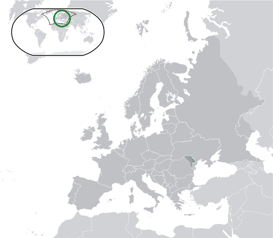
English: Location Moldova Europe.png
English: Transnistria (green) / Moldova (dark grey) / Europe and other regions (light grey); inspired by and consistent with general country locator maps by User:Vardion, et al |
| Махуэр | |
| КъежьапӀэр | Уней лэжьыгъэр |
| Лэжьыгъэр зи Ӏэдакъэ щӀэкӀар | CatJar |
Лэжьыгьэ бгъэзэщӀэну хуит узыщӀ тхылъ
| I, the copyright holder of this work, release this work into the public domain. This applies worldwide. In some countries this may not be legally possible; if so: I grant anyone the right to use this work for any purpose, without any conditions, unless such conditions are required by law. |
Файлым и тхыдэ
Махуэ/зэманым тепӀытӀэ файлыр дапщэщ сыт хуэдэу щытами уеплъынумэ
| Махуэ/Зэман | КӀэщӀу | инагъыр | ЦӀыху хэтыр | Гу зылъытапхъэ | |
|---|---|---|---|---|---|
| иджы екӀуэкӀыр | 02:57, 12 Бадзэуэгъуэ 2020 | | 2,052 × 1,792 (419 KB) | De728631 | added South Sudan to World map |
| 01:29, 25 Дыгъэгъазэ 2009 |  | 2,052 × 1,792 (353 KB) | CatJar | {{Information |Description={{en|1= Location Moldova Europe.png '''English:''' Transnistria (green) / Moldova (dark grey) / Europe and other regions (light grey); inspired by and consistent with general country locator maps by User:Vardion, et al}} |Source |
Файлыр къэгъэсэбэпын
There are no pages that use this file.
Куэд къызэщӀиубыдэфыу файлыр къэгъэсэбэпын
Мы файлыр мыпхуэдэ викихэм къыщагъэсэбэп:
- Къыщыгъэсэбэпын af.wikipedia.org
- Къыщыгъэсэбэпын ar.wikipedia.org
- Къыщыгъэсэбэпын be-tarask.wikipedia.org
- Къыщыгъэсэбэпын crh.wikipedia.org
- Къыщыгъэсэбэпын cs.wikipedia.org
- Къыщыгъэсэбэпын el.wikivoyage.org
- Къыщыгъэсэбэпын en.wikipedia.org
- Къыщыгъэсэбэпын eo.wikipedia.org
- Къыщыгъэсэбэпын fa.wikipedia.org
- Къыщыгъэсэбэпын fr.wikipedia.org
- Къыщыгъэсэбэпын incubator.wikimedia.org
- Къыщыгъэсэбэпын lv.wikipedia.org
- Къыщыгъэсэбэпын mg.wikipedia.org
- Къыщыгъэсэбэпын ml.wikipedia.org
- Къыщыгъэсэбэпын pt.wikipedia.org
- Къыщыгъэсэбэпын vi.wikipedia.org
- Къыщыгъэсэбэпын war.wikipedia.org